Connect with us

Headlines

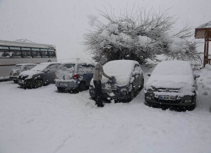
Rain, snow to continue in J&K, Ladakh till Monday

Image
Image


Srinagar, Jan 22
Rain and snow lashed Jammu and Kashmir on Saturday as the India Meteorological Department (IMD) has predicted more precipitation from January 22.

A statement by IMD said: "A fresh active western disturbance most likely to affect Jammu and Kashmir and adjoining areas from January 22.

"Under the influence of this system, widespread rain/snow most likely to occur during January 22 and 23. The system will most likely concentrate over Jammu divsion, Pir Panjal range and South Kashmir.

"Moderate rain in plains with snow over higher reaches (heavy rain/snow at isolated places) of Jammu divsion is expected during the above period.

"Light snow over plains and moderate snow over middle and higher reaches of Kashmir division is expected particularly over northwestern, northern and central parts of Kashmir.

"Moderate snow over pains of south Kashmir with heavy snow at isolated places over higher reaches of south Kashmir is expected during the above period.

"Possible Impact: May temporarily disrupt surface and air transportation on January 22 and 23. Probability of occurrence as of today is 75 per cent.

"Landslides in vulnerable spots of Jammu-Srinagar National Highway and other major hilly roads."

on Saturday, Srinagar had minus 2.4 and Gulmarg minus 6.5 degrees Celsius as the minimum temperature.

In the Ladakh region, Drass had minus 11.9, Leh minus 9.3 and Kargil minus 12.0 as the night's lowest temperature.

Jammu city 10.1, Katra 7.2, Batote 1.2, Banihal 02 and Bhaderwah 1.8 as the minimum temperature.